Falcon BMS 4.37 - Interactive Maps
You find here Interactive Maps providing access to airbase and airstrip information for the respective theater of operations. The maps provide the following features:
- Locate airports and navigation beacons and request their information by hovering over them
- Move map, zoom in/out and measure distances on map
- Mission.ini or Pilot.ini drag and drop to show route on map and more.
- Full whiteboard collaboration using collaboration server
- Save Whiteboard(.png) and restore with drag and drop
- MIL-STD-2525D symbology
- Weather import (fmap drop) for weather charts (Temperature, Doppler, Winds, Isobars)
- Route Waypoint dialog (actions, heading, distance and duration updates, etc)
- Computed Mission Flight Info, Mission Radio Frequencies and Mission Objectives
- Show Lat/Long on map and x,y of image map
- Aerodrome Weather Report (METAR) as tooltips and on route dialog (uses) fmap
- Add notes on Whiteboard
- Bullseye placement
- Download and Import GFS data and files
Change log | Manual (PDF)
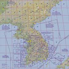
| Korea Theater |
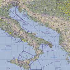
Balkans Theater |
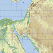
Israel Theater |
|---|---|---|


